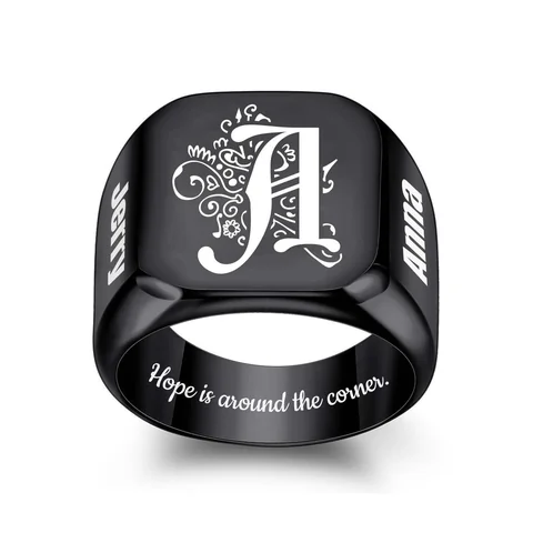
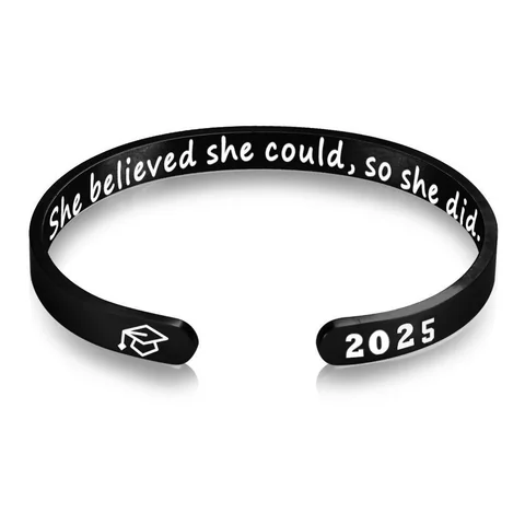
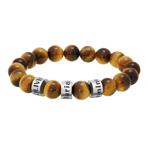
Verify the place before editing the numbers. A coordinate engraving can look tidy and still point somewhere you did not intend.
Make a four-field record
Record the place in ordinary language, the source used to find it, the coordinate order, and the complete string you want to submit. Use one coordinate format consistently; do not combine parts copied from different displays.
| Check | Question to answer |
|---|---|
| Place | Is this the exact intended spot rather than a nearby search result? |
| Order | Which value is latitude and which is longitude? |
| Direction | Are negative signs or direction letters preserved? |
| Precision | Does rounding still identify the intended location? |
Keep a map reference with the brief so the numbers can be checked again. This is a verification task, not a reason to publish a private address.
Consider a less precise alternative
If the place is someone's home, ask whether a town name or a private shared phrase would be more appropriate. The wearer should decide how much location information is displayed.
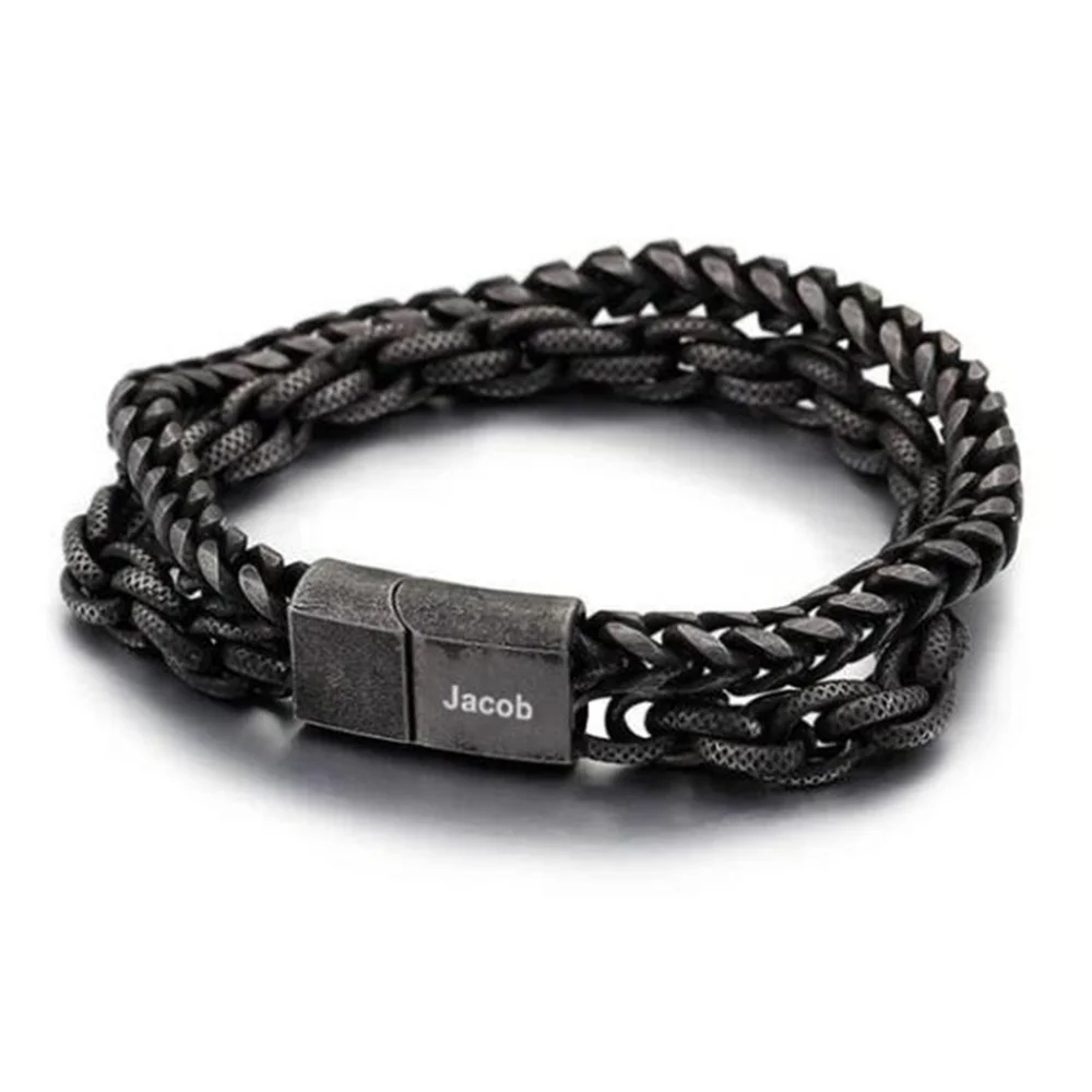
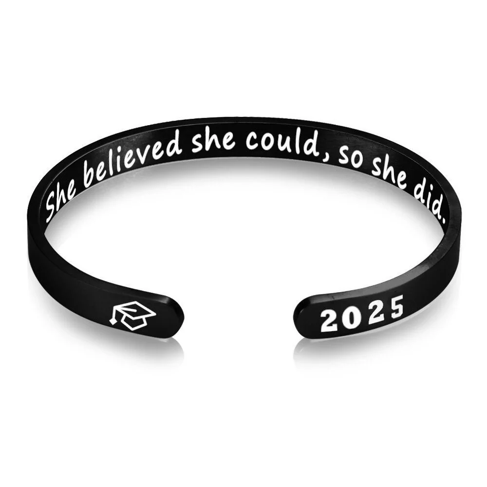
For The Double Chain or The Open Cuff, confirm signs, punctuation, and usable space before approving the final string. A shortened coordinate needs another location check; fewer digits are not just a visual change.
Define the place in words before using a map string
Write a private sentence describing the intended spot: the meeting point at a named park entrance, the location of a shared photograph, or another place the wearer recognizes. Decide whether the memory belongs to that exact spot or to the broader area. A town name may serve the purpose better if the specific point is not important.
For an original planning exercise, imagine a gift recalling a picnic near a park gate. A search result for the park's general label may not be the point the giver means. The review task is to compare the selected map point with the written memory and resolve the difference. Do not substitute a conveniently formatted result without checking the place.
Keep a traceable private record
Save the map reference and the complete coordinate string together with the ordinary-language description. Identify the source and date of the lookup. This record lets you compare a later proof with the location you actually selected rather than relying on a remembered sequence of numbers.
Label which value is latitude and which is longitude in the planning note. Preserve the sign or direction marker shown in the chosen format. If you change to another format, check the resulting location again before treating the new string as equivalent.
Do not combine a latitude from one search with a longitude from another. A clean-looking pair is not evidence that both values describe the same intended spot. Keep the source record for the entire pair and investigate any disagreement before preparing the jewelry brief.
Decide what level of disclosure is wanted
Ask the wearer whether displaying location information is appropriate for this memory. A public landmark and a private home can raise different personal preferences. The exact location should not be published simply because it was found during planning.
If the wearer wants a private reference, compare alternatives such as the park's name, a shared phrase, or a broader place label. Each changes what another viewer could learn from the inscription. Choose the option that serves the memory and the wearer's preferred visibility.
Keep the private lookup separate from any public proof image. You can discuss an inscription's region using placeholder text while the location choice is still undecided. Mark the placeholder clearly so it cannot become the final request by accident.
Shorten only after checking the meaning
If the coordinate string seems too long, first ask for the actual supported text region. Do not immediately remove signs, separators, or digits to make the preview accept it. Those edits may change how the location is interpreted rather than merely changing its appearance.
If rounding is proposed, use the revised string to check the location again. Ask whether the result still serves the memory you defined at the start. You do not need to promise a universal level of precision; you need to know whether the chosen representation is adequate for your specific purpose.
A shorter place name can be a more deliberate fallback than an unverified numerical edit. It may identify the shared setting without pretending to preserve an exact point. Put the complete story on the card if the jewelry text needs to remain brief.
Review the proof in two passes
In the first pass, compare every number, sign, separator, and direction letter with the saved string. In the second, confirm the intended location using the saved map reference. A perfect copy of the wrong lookup is still the wrong inscription, so both checks matter.
Ask the maker to confirm the supported punctuation and symbols for the selected region. A name example on a clasp does not establish support for a coordinate string, and a cuff's year example does not settle the same question. Request the exact proposed layout.
The planning outcome should contain one chosen place, one checked representation, and a clear decision about disclosure. If any of these remain uncertain, keep the coordinates out of a final request. This produces a useful brief without claiming that the linked references have already approved the engraving.